PhD student in 'Geo-information Science meets Computer Vision in the City'
PhD student in 'Geo-information Science meets Computer Vision in the City'
You cannot apply for this job anymore (deadline was 2 Dec 2018).
Browse the current job offers or choose an item in the top navigation above.
Job description
The laboratory of Geo-information Science and Remote Sensing invites applications from candidates for a doctoral position at the interface of Geo-information Science, Computer Vision and Urban studies.
We look for an enthusiastic PhD candidate willing to work at the interface between urban computing and machine / deep learning. The candidate will focus the efforts in the integration of multiple data sources (social media / ground photography / aerial imaging) to model perception of urban changes and liveability with deep learning tools. Particular attention will be paid to the interpretability of the models developed.
We look for an enthusiastic PhD candidate willing to work at the interface between urban computing and machine / deep learning. The candidate will focus the efforts in the integration of multiple data sources (social media / ground photography / aerial imaging) to model perception of urban changes and liveability with deep learning tools. Particular attention will be paid to the interpretability of the models developed.
Specifications
- max. 38 hours per week
- Wageningen View on Google Maps
:fill(white)/logos/wur-en-wide.png)
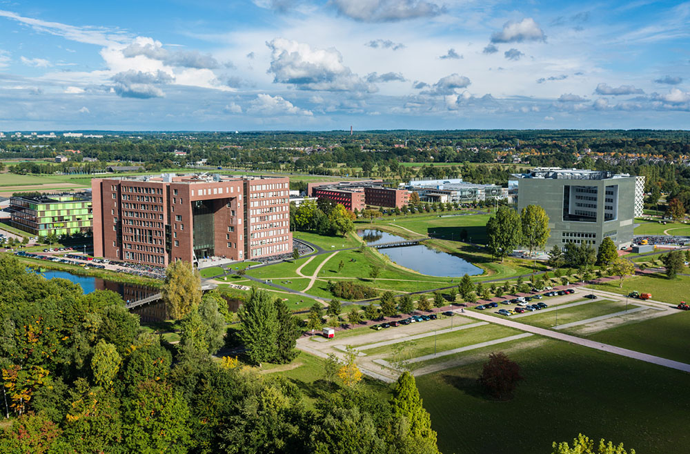
Wageningen University & Research
Requirements
Upon start, applicants must have a completed masters degree in Geo-Information Science, Computer Vision or similar, with a high degree of specialization in processing of geospatial data. Applicants must be able to pursue data-oriented computational research as well as to develop their own ideas into software. Good numerical skills and literacy in programming are required (Matlab or Python coding, C/C++ is an asset). A good standard of written and spoken English is required.
Conditions of employment
We offer
This is a 4-year PhD position. We offer a temporary contract for 18 months, which will be extended with another 2,5 years after compliance of the candidacy examination required by the graduate school. Gross salary per month: from € 2266, in the first year up to € 2897 in year 4 (based on full time employment). The position may start as of January 1, 2019 .
This is a 4-year PhD position. We offer a temporary contract for 18 months, which will be extended with another 2,5 years after compliance of the candidacy examination required by the graduate school. Gross salary per month: from € 2266, in the first year up to € 2897 in year 4 (based on full time employment). The position may start as of January 1, 2019 .
Employer
Wageningen University & Research
We areThe laboratory of Geo-Information Science and Remote Sensing is part of the Department of Environmental Sciences of Wageningen University. The Department's fundamental research and education concerns our living environment: nature, landscape, land use, mitigation and adaptation to climate change, water management, and various competing claims on space.
The mission of our laboratory is to advance spatial competences for a sustainable world through research and education. The education that conveys this mission is offered in a variety of BSc programmes of Wageningen University and concentrated in the MSc Geo-information Science of Wageningen University and the joint MSc in Geographical Information Management and Applications (GIMA). The research of the laboratory has a fundamental character with a clear link to the mission of Wageningen University to provide Science for Impact. Our research agenda is represented in five themes: 1) Sensing and measuring, 2) Modelling and visualization, 3) Integrated land monitoring, 4) Human-space interactions, and 5) Empowering agro-environmental communities. In the most recent external evaluation (2015), an international committee assessed our research quality by an excellent score. The laboratory is very international in terms of staff and student composition.