Postdoc position in Near-real time forest monitoring using Sentinel satellites and data science
Postdoc position in Near-real time forest monitoring using Sentinel satellites and data science
You cannot apply for this job anymore (deadline was 15 Sep 2019).
Browse the current job offers or choose an item in the top navigation above.
Job description
The Laboratory for Geo-information Science and Remote Sensing (GRS) at Wageningen University & Research is looking for a
Postdoc position in Near-real time forest monitoring using Sentinel satellites and data science (1.0 fte)
The Laboratory for Geo-information Science and Remote Sensing (GRS) at Wageningen University (NL) is offering a Postdoc position on near real-time forest monitoring using Sentinel satellite data and data science.
Earth observation and data science technologies are rapidly advancing. New satellites now provide spatially detailed information almost daily and cloud computing solution enable large-scale applications. With the European Sentinel-1 and -2 satellites dense and high-resolution radar and optical data are available free-of-charge and globally for the first time. This offers great potential to support services and science better.
We have developed concepts for new approaches to use radar and optical satellite data for near real-time forest change monitoring. Further innovations are now needed to utilize the high spatial and temporal information content of the new satellite missions for improving the detection, validation and characterization of changes, and for scaling the developed approaches.
You will explore statistical methods and machine learning to advance algorithms and concepts for multi-sensor near real-time forest monitoring. You will explore novel solution based on spatio-temporal statistics and deep learning models in support of large-scale and effective implementations in cloud environments.
You will work in the context of a large international project focusing on near real-time forest change monitoring in the tropics. You will be part of the near real-time science team at our lab, and also be involved in the supervision of PhD students
Specifications
- max. 38 hours per week
- Wageningen View on Google Maps
:fill(white)/logos/wur-en-wide.png)
Wageningen University & Research
Requirements
You are a motivated researcher who:
- owns a data science, statistical science, machine learning, remote sensing and/or geo-informatics PhD degree;
- has vast experience with statistical methods and machine learning;
- is at ease working with cloud-based environments handling satellite time series data (e.g. Google Earth Engine);
- has a track of strong programming skills (e.g. Python, R, java script);
- has knowledge about (radar) satellite remote sensing and an understanding in forest monitoring;
- masters English in both speaking and writing.
Conditions of employment
We offer a temporary contract for 2 years (with good performance extension is possible), for 38 hours per week (1 fte). Gross salary: from € 2709,- to € 4274,- (scale 10), based on full-time employment and depending on expertise and experience.
In addition, we offer:
In addition, we offer:
- 8% holiday allowance;
- a structural year-end bonus of 8.3%;
- excellent training opportunities and secondary employment conditions;
- flexible working hours and holidays can possibly be determined in consultation so that an optimal balance between work and private life is possible;
- excellent pension plan through ABP;
- 232 vacation hours, the option to purchase extra and good supplementary leave schemes;
- a flexible working time: the possibility to work a maximum of 2 hours per week extra and thereby to build up extra leave;
- a choice model to put together part of your employment conditions yourself, such as a bicycle plan;
- a lively workplace where you can easily make contacts and where many activities take place on the Wageningen Campus. A place where education, research and business are represented.
Employer
Wageningen University & Research
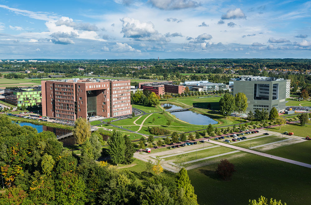
Wageningen University & ResearchThe mission of our University is to explore the potential of nature to improve the quality of life. Within Wageningen University & Research, nine specialised research institutes from the Wageningen Research Foundation and Wageningen University have joined forces to help answer the most important questions in the domain of healthy food and living environment. With approximately 30 locations, 5,000 employees, and 10,000 students, it is one of the leading organisations in its domain worldwide. An integrated approach to problems and the cooperation between various disciplines are at the heart of the unique approach of Wageningen.
We are
The department of Environmental Sciences of Wageningen University provides fundamental research and academic education on our living environment: nature, landscape, land usage, adaptation to climate change, water and ocean management, and the various competing claims on space. This also includes biodiversity and the sustainability of management and production. Wageningen University is part of the Wageningen University and Research Centre concern. The Laboratory of Geo-Information Science and Remote Sensing is part of the Department of Environmental Sciences.
GRS strives to advance spatial competences for a sustainable world. In Wageningen, we are active in several BSc programmes and in the MSc program in Geo-Information. GRS leads fundamental and applied research towards Science for Impact. Our research agenda is represented in five themes:
- Sensing and measuring,
- Modelling and visualization,
- Integrated land monitoring,
- Human-space interactions,
- Empowering agro-environmental communities.