PhD position (1.0 FTE) for 4 years in Question-based Analysis of Geographic Information with Semantic Queries
PhD position (1.0 FTE) for 4 years in Question-based Analysis of Geographic Information with Semantic Queries
You cannot apply for this job anymore (deadline was 16 Feb 2020).
Browse the current job offers or choose an item in the top navigation above.
Job description
To realize this vision, it is necessary to understand how geo-analytic resources can be captured with the questions they answer. The QuAnGIS project, a 5-year research project at the University of Utrecht that started in January 2019 funded by the European Research Commission (ERC), develops a theory about interrogative spatial concepts needed to turn geo-analytical questions into machine-readable workflows using Semantic Web, Workflow synthesis and Question-Answering (QA) technology. The focus is on 'core concepts of spatial information', field, object, network, event (Kuhn 2012), and related analytical concepts such as accessibility, exposure, density, distance and aggregation. Based on these concepts, questions can be matched with the capacity of major analytical GIS tools and data sources on the web.
QuAnGIS is highly interdisciplinary at the intersection of Human Geography, GIScience, GIS, Information Science, Semantic Web (ontologies), Computational Linguistics and Ontologies. It involves both empirical and computational studies as well as formal/ontological design. The theoretical outcomes of this research will be implemented in a working QA system. Hence, software engineering and development are also relevant to this project. Following the interdisciplinary nature of the project, collaboration with outside investigators is a noticeable part of the project. Current collaborations include investigators from Eindhoven University of Technology (Netherlands), the University of California, Santa Barbara (USA), and the University of Melbourne (Australia).
The new PhD position in this project should focus on the information theory and technology needed to enable GIS analysts to translate (1) geographic questions into analytic workflows and (2) to retrieve corresponding resources for analysis. The main research question is: How can the analytic potential of geo-analytical resources (data and tools) be described in terms of potential workflows and be linked to the questions they answer? This involves an investigation into GIS tools and their functionality in terms of semantic concepts, as well as standard web data sources, and how both can be linked. Furthermore, it involves developing a transformation language that can be used to search over GIS workflows using question concepts. Both will be a basis for building an integrated extensible web repository about analytical tools and data sources that can be queried using questions.
Tasks of the PhD-student consist of (but are not limited to):
- conducting scientific research in the fields of Geospatial Semantics, Geographic Information Science, Ontology Engineering, and Semantic Web relevant to handling spatial questions and analytic resources;
- the collection and semantic description of GIS scenarios for developing a gold standard of questions and workflows. In particular, describing analytic (web) resources for geospatial analysis (tools and data) in a semantic database (MarkLogic);
- the development of workflow synthesis technology and a transformation language for matching questions with workflows composed from resources;
- helping perform user studies for testing the tool/data repository with geospatial analysts;
- publishing results in scientific journals and presentation in high-quality international conferences in these fields;
- collaboration with outside investigators in joint studies;
- organizing multi-stakeholder meetings and workshops to test and discuss the technology;
- developing teaching skills, students are expected to contribute to the teaching programme of the Department of Human Geography and Spatial Planning to a limited degree (up to 10%). It may also involve the supervision of Master projects.
Your responsibilities:
- start the project preferably in May or later in 2020 upon negotiations;
- meet the goals/deadlines as set out in the project proposal;
- complete a PhD thesis within the 4-year contract period.
The project team is part of a new Geographic Information Methods (GIM) interest group within the Social Urban Transitions (SUT) research programme in the Department of Human Geography and Spatial Planning, Faculty of Geosciences, Utrecht University. It is linked to the Healthy Urban Living research group comprising a wide variety of researchers, for instance with backgrounds in transport geography, epidemiology, urban geography, and health sciences. It is also linked to the Vitality Data Centre, a project involving data scientists and researchers interested in methods for assessing physical activity and health. Currently, the core research team consists of the principal investigator (supervisor), a postdoc, and a PhD student.
Specifications
- 38—40 hours per week
- max. €2325 per month
- Utrecht View on Google Maps
:fill(white)/logos/uu-en-wide.jpg)
Utrecht University
Requirements
- an MSc degree in Geographic Information, Computer Science, Data Science or Geography;
- a strong affinity and motivation for doing basic scientific research in an interdisciplinary setting;
- an open mind, the ability to think creatively and outside the box;
- analytical skills and interest in geographic data analysis;
- an interest in academic theory development and abstraction as well as theory application;
- affinity with scientific research in Geospatial Semantics, GIScience or Semantic Web/Ontology engineering;
- experience with Semantic Web technology, GIS technology or Data Science technology;
- experience with web (geo-spatial) data sources and corresponding APIs, such as Open Street Map (OSM);
- solid abilities in programming and application development are needed. Experience in web programming, Semantic Web development or Machine Learning is a bonus;
- an independent, pro-active working style;
- motivation to work in an international team with outside collaborators;
- excellent scientific communication skills (written and verbally) in English.
Conditions of employment
We offer a position (1.0 FTE) for four years. The gross salary starts with €2,325 per month in the first year and increases to €2,972 (scale P according to the Collective Labour Agreement Dutch Universities) per month for a full-time employment. Salaries are supplemented with a holiday bonus of 8% and a year-end bonus of 8.3% per year. In addition, Utrecht University offers excellent secondary conditions, including an attractive retirement scheme, (partly paid) parental leave and flexible employment conditions (multiple choice model). More information about working at Utrecht University can be found here.
Employer
A better future for everyone. This ambition motivates our scientists in executing their leading research and inspiring teaching. At Utrecht University, the various disciplines collaborate intensively towards major societal themes. Our focus is on Dynamics of Youth, Institutions for Open Societies, Life Sciences and Sustainability.
Utrecht University's Faculty of Geosciences studies the Earth: from the Earth's core to its surface, including man's spatial and material utilisation of the Earth - always with a focus on sustainability and innovation. With 3,400 students (BSc and MSc) and 720 staff, the Faculty is a strong and challenging organisation. The Faculty of Geosciences is organised in four Departments: Earth Sciences, Human Geography & Spatial Planning, Physical Geography, and Sustainable Development.
The Faculty of Geosciences conducts education and research concerning the geosphere, biosphere, atmosphere, and anthroposphere. With a complement of 2,600 students (BSc and MSc) and 600 staff, the Faculty is a strong organisation. The Faculty is organised in four Departments: Innovation, Environmental & Energy Sciences, Earth Sciences, Physical Geography, and Human Geography & Spatial Planning.
The Department of Human Geography and Spatial Planning has its focus on the enhancement of long-term economic developments of cities, how to cope with social inequalities and how to ensure a healthy urban living. Research on these topics takes place within our research program 'Urban Futures: Transitions Towards Economic and Social Sustainability for Cities'.
Our research program is the basis of our Research Master's Human Geography and Geographical Information Management and Applications (GIMA) and professional Masters in Human Geography, International Development Studies and Spatial Planning. The department runs also a large and highly appreciated Bachelor's programme and is part of the Netherlands Graduate School of Urban and Regional Research for PhD candidates.
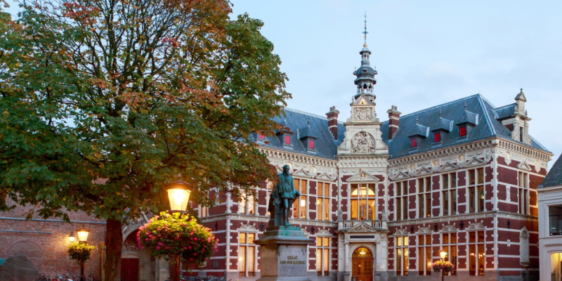
The city of Utrecht is one of the oldest cities in the Netherlands, with a charming old center and an internationally oriented culture that is strongly influenced by its centuries-old university. Utrecht city has been consistently ranked as one of the most liveable cities in the Netherlands.
Specifications
- PhD
- Engineering; Behaviour and society; Natural sciences
- 38—40 hours per week
- max. €2325 per month
- University graduate
- 1085818
