Digital Soil Mapping Specialist at ISRIC - World Soil Information
Digital Soil Mapping Specialist at ISRIC - World Soil Information
You cannot apply for this job anymore (deadline was 15 Feb 2020).
Browse the current job offers or choose an item in the top navigation above.
Job description
Are you a specialist in digital soil mapping with extensive experience in geo-information science? And do you have a passion for innovation and able to help us develop state of the art soil information products using geo-statistical and machine learning methodologies? Then you can join the ISRIC team!
In the coming years ISRIC- World Soil Information will further develop global, continental and national level soil information products using large soil profile datasets in combination with environmental covariates taking full advantage of the recent developments in remote sensing. In 2020 we are starting various new large-scale projects in which we will work together with national soil information institutes in Africa. We will also continue our work on space-time modelling of soil organic carbon content in the soil. For these projects we need your help!
Do you want to know more about us? Check out the sneak preview of our global digital soil mapping products, our pilot projects in Senegal and Mali and of course our in house museum!
Tasks
- contribute to the further development of SoilGrids (www.soilgrids.org) and other national or continental products;
- help to integrate spectral data in our workflow;
- contribute to the development of spatial information characterising soil and land quality, for instance for soil organic carbon sequestration, soil fertility assessments, and sustainable land management; you will base your products on available soil information (e.g. from WoSIS and SoilGrids), remote sensing data and/or modelling approaches;
- help to innovate our methodologies through better use of point datasets, improved use of remote sensing information and/or improved modelling and computational approaches.
Specifications
- max. 38 hours per week
- Wageningen View on Google Maps
:fill(white)/logos/wur-en-wide.png)
Wageningen University & Research
Requirements
Required
- at least a MSc degree in for instance soil science, environmental science or geo-informatics;
- experience in spatial statistics and machine learning;
- experienced in programming languages, such as R and Python;
- willingness to learn and adopt new technologies in geo information science and spatial modeling
- expertise with processing of proximal and remote spectral data;
- a pleasant colleague who enjoys working in our team.
- experience with open source GIS software, such as GRASS, GDAL, PROJ and (spatial) database software, such as PostgreSQL;
- experience in big (earth) data processing with high performance computing technologies.
Conditions of employment
A challenging temporary position for a period of 3 years with, depending on your experience, a competitive salary between € 2709,- and €4978,- gross per month, for a full-time working week of 38 hours in accordance with the Wageningen University (scale 10/11). A part-time assignment of 4 days per week is negotiable. Applicants with non-Dutch citizenships may qualify for tax reduction over a period of 3 years. You will work in a challenging and international working environment with a diverse, experienced and motivated team at a renowned institute in the field of soil information. While working at ISRIC you have ample possibilities to engage with researchers from WUR and their projects.
We also offer
We also offer
- ample possibilities to further develop your technical or personal skills, because we believe lifetime learning is important;
- 8% holiday allowance;
- a structural year-end bonus of 8.3%;
- excellent educational opportunities and secondary employment conditions;
- flexible working hours and holidays that can be discussed and arranged so that they allow for the best possible work-life balance;
- excellent ABP pension regulations;
- 232 hours of leave, the option to purchase additional hours, and good additional leave regulations;
- a choice model to partially create your own benefits package, which includes a bicycle scheme;
- a lively green workplace where it is easy to establish new contacts, and where many activities take place on Wageningen Campus. A place where education, research, and business are all represented;
- the opportunity to use the sports facilities on campus for a small fee.
Employer
Wageningen University & Research
ISRIC - World Soil Information (www.isric.org) has the mission to serve the international community with information about the world's soil resources to help addressing major global issues. We are the International Council for Science (ICSU) accredited World Data Centre for Soils (WDC-Soils) since 1989 and maintains the World Soil Museum. In partnership, we operate in four priority areas: (i) standard setting for soil information; (ii) production and serving of spatial soil information products; (iii) education and capacity building; and (iv) development of derived products for specific user groups. ISRIC is an independent foundation located at the Wageningen Campus and has a strategic cooperation agreement with Wageningen University and Research (WUR).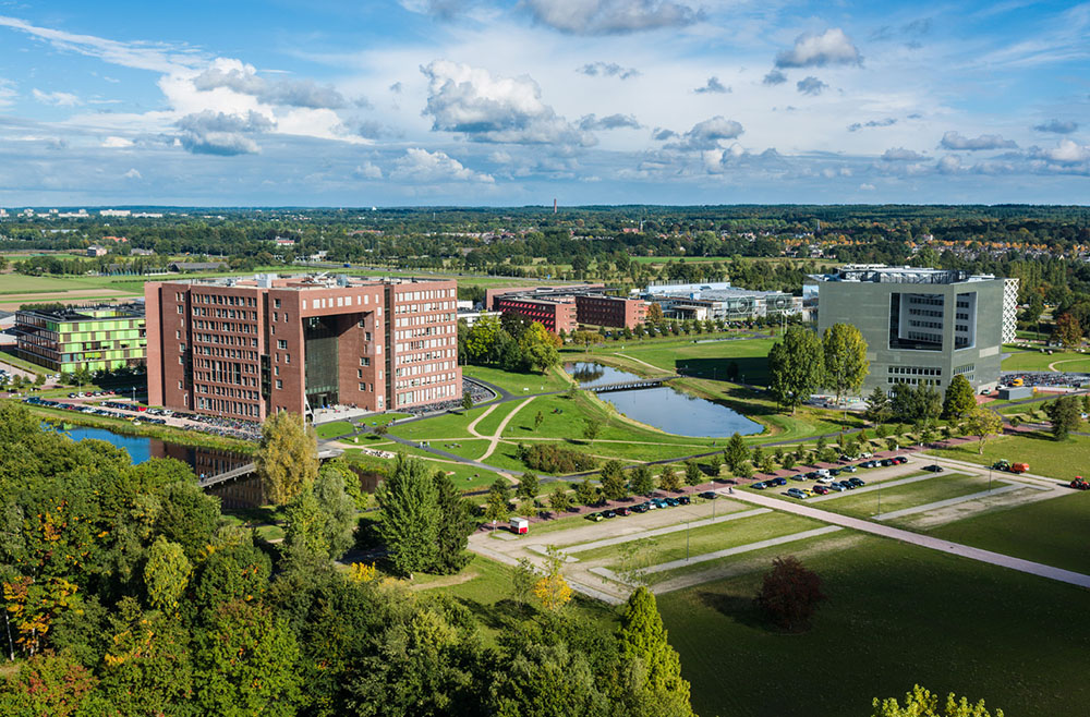
Specifications
- Research, development, innovation
- Natural sciences
- max. 38 hours per week
- University graduate
- 587501
